Lake Sakakawea Boating Trip Log, June 12-14, 2020
In this post I describe a 3-day, 2-night trip in the North Dakota badlands via Lake Sakakawea. I traveled by RIB (rigid inflatable boat) to the camp site. In a previous post I provided more background on Lake Sakakawea; feel free to read it if you want to understand the context of this trip. This article in the New York Times provides excellent descriptions of the lake and its shoreline.
Day 1: June 12
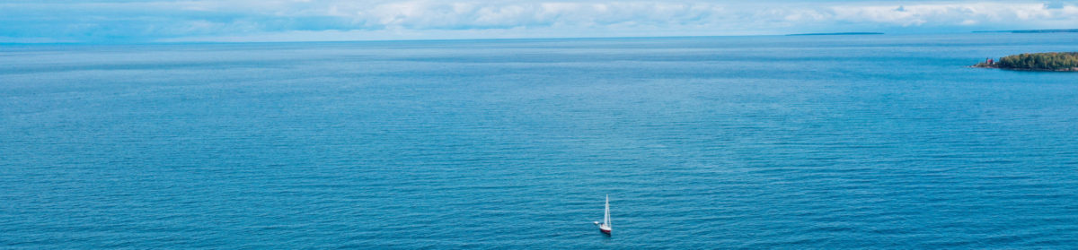
My plan was to cruise in my 22-foot RIB, a Zodiac 650, to a remote, scenic bay I call “O’Keefe Bay” on Lake Sakakawea and stay two nights. I put the boat in at Indian Hills Resort in Good Bear Bay. The Zodiac has a rigid bottom, an inflatable U-shaped collar around this bottom, plus two 70 horsepower Yamaha outboard engines yielding a maximum boat speed of 40 mph.
The prep work for this trip seemed excessive, two hours on Thursday, three hours on Friday so I started late again. I arrived at Indian Hills resort from my lake home near Coleharbor around 1600 but did not head out onto the lake until 1730, arrived at O’Keefe Bay at 1900. On the 14-mile trip from Indian Hills to O’Keefe Bay the winds were from southeast, on my back, around 15 mph. I cruised along on the south shore. There was a golden glow off the high cliffs to port. Wind from the south east at 130° so easy cruising with it at my back. The sun was gorgeous, I was cruising directly towards it and felt like I was chasing it.

It took 1.5 hours to set up camp and secure the boat. I used the Danforth anchor for the bow and the two grappling anchors plus chain and rode for the port and starboard side anchors. My Eureka tent was set up quickly. I really love the hard work to set up camp and the exhaustion it creates, but I’m getting muscle cramps from dehydration. So I need to stay hydrated and I need more training strength and stretching to continue with these rigorous trips.

It’s hard to decompress on such short trips but they’re still awesome. My goal is finding beauty on each trip and record and share it. I’m surprised how nervous I still am when I start out, but my confidence is building each trip. Sakakawea is a big lake and there is almost no settlement on the shoreline, especially where I was going. When I first got out on the lake, no one else was on the water in the large, open portion of the lake where the Little Missouri Arm meets the bend as the river turns towards the east, and it was a bit spooky. I was not feeling strong, but that changed on the second day.
I set up camp in the same exact spot the last time I was at O’Keefe Bay over Labor Day weekend in 2019. The logs I had left last year were still there. I’m certain almost no one hikes or stays here because this bay is surrounded by very steep, rough, high hills. I’ve also never seen signs of cattle here, whereas cattle are quite common to see on Sakakawea’s shoreline. Thus O’Keefe Bay provides solitude except for the occasional curious fishing boat that stops by briefly for the view. On the second day I realized where I set up my tent is exposed to potentially falling rocks from the cliffs above me, so next time I’ll place my camp on the hill pointing into the bay that is not exposed to falling mud or rocks.

While checking the tent, I found extra tent guidelines to secure all parts of the tent. Noticed I can stake in the bottom of the tent as well, at the doors. Did not cook dinner, too exhausted and not hungry. Noticed this the whole trip, exhaustion and heat reduced my appetite. I also noticed I can go a full day, or even two days, eating very little while doing a massive amount of work. I assume this is good.

Day two: June 13, 2020
On day two I rose at 0700, spent an hour on golden hour photography and then did some video sequences.
I thought about my mindset when I’ve encountered Badlands before, being too logical and material, trying to use science to understand everything and put it in a box. Instead the right way is to not overthink it. Assume it was created this way for reasons I don’t really need to know, but I need to appreciate the beauty, like appreciating art in an impressionistic way. Just exist in it and flow into it.

At the end of the day I made the following notes: was very windy all day, excellent morning readings on the historical problems of modernity. Reviewed books on Kindle. Saw a bluebird that seemed incredibly out of place in this brown and yellow badlands hellscape. The bird lived in the cliff, disappeared before I got a good photo (I did get a not-so-great photo, see above).
Evolution can’t tell me why that bird is here, or why it’s blue, or frankly much of anything else. Later I learned it was probably an Indigo Bunting. My camp gear, including the tent, did well in the high winds that came up on this day. The shore anchoring rig for the Zodiac also worked well. The rig includes a Danforth bow anchor forward and rode plus chain from both the port and starboard stern cleats to shore. This keeps the boat perpendicular to shore so that the engines are in the deepest water possible while keeping the boat secure.

Day 3: June 14th
I woke up after a windy night during which the tent held up quite well. But the tent was noisy as it was jostled by the wind. I can see the advantage of a tunnel tent for the tundra here, where it’s more compact and less exposed to the wind. Having the tarp is essential for rain protection and comfort around camp if I switch to a tunnel tent.
The SE wind was shaped by the surrounding hills so that it was bent and came around from the north when it hit my campsite. Interesting how the wind speed rose and fell. Woke up around 1900. Slow start, made coffee eventually, then read. Around 9am packed up and prepared for the return trip. Checked weather by VHF radio, winds from SE through the afternoon then from south later in the day, potential rain/storms throughout the day. It turned out to be fairly accurate; no storms but light rain, then later in the afternoon the sun finally came up.

During this trip I was shocked at how inaccurate the Navionics tool is, and I encountered several large submerged islands that were not marked anywhere on the Navionics map. I wonder if there is a “chart datum” setting for the lake level. It needs one.
On the return trip I passed through the Little Missouri Arm out onto the main lake, stayed on the south coast of the lake to get some protection from the strong (20 knot) SE wind, but as it was more easterly than southerly, there was a 2-3 foot chop on the big lake. I stopped in a couple bays to explore, including one that likely has a sand beach as it was surrounded by sandstone cliffs. I recorded this spot on the Navionics app.

On the trip east I drove at low speeds to keep the boat under control, for comfort, and to lower fuel use. I also shot video and took photos.
I discovered a Cove just across the lake from Good Bear Bay, where Indian Hills resort is located, that has exactly the same kind of beach as those found on Lake Superior . Basically a gradual change from coarse sand to pebbles to small rocks, then larger rocks, all layered vertically. It turns out this bay has a northwest exposure with a long 15+ mile fetch, so the prevailing northwest winds create consistent, fairly large wave action. There is a beach filled with this gravel and rock that’s 4 to 5 feet high. It’s amazing how similar it is to the beaches on Lake Superior. I believe there should be holding ground for anchoring, although it’s only tenable for east or south east winds. However if the winds shift, you can re-anchor in adjacent waters which have protection from north, northwest, and west winds.

I tried to swim on this beach but the main lake water was too cold for me. After lunch and a couple of hours exploring this beach, I headed across the lake and into Good Bear Bay and Indian Hill Resort, pulled out my boat and gear, and was able to get home uneventfully.
Observations
- The iPhone’s small size, convenience, versatility (multiple lens), and automation makes its camera especially useful on expeditions. Of course it cannot take long-range zoom photos of wildlife, and can’t handle corner cases (like very low light or high dynamic range) that my Sony can, but I get many photos that would otherwise not happen.
- With a deeper knowledge of the lake (it’s history, geology, and people) I could tell its story better. I’m going to work on that.
- Once again, I am surprised at how much solitude you can achieve with an outdoor skills stack that combines multiple skills, including camping, boating, navigation and weather.